
Incoming · 2026
NYCHA — IT Service Management, Program Development Member
Incoming through NYC Civic Corps · Program development within NYCHA’s IT Service Management department

I turn fragmented public data into investigations, evidence, and interactive tools that help people understand risk and make better decisions.
“Jonathan has a natural, and well-honed intuition for user experience — not just UX, but the needs, intentions and experiential desires of humans using technologies. With a design background as well, Jonathan's capability spans the development visual design language to product strategy. He knows how to work with full stack developers (to speak the language, and know their needs) to affect collaboratively-build wins. And, he's a good guy.”
“Jonathan was great to work with! Organized, clear and concise. He kept the team updated and engaged as a strategic thinker. Look forward to working with him again.”
“Jonathan left me in WOW with his level of service. He asked me the right questions to make me the most perfect website and logo design for a marketing company I owned. I thank him as he gave my website a cleaner and sophisticated look that matched well with my brand's vision and clientele. He is professional, courteous, prompt, and always cared about my thoughts in the process. I want to continue doing work with him.”
“Jonathan is an awesome UX professional. He really helped us understand user journey and simplify the user flow. He provided some invaluable design principles and guidance and even helped me personally streamline and prioritise other aspects of business too. He's now one of my greatest friends.”
“Jonathan has a passion for creating sustainable products that is a rare find. This along with the dedication to his work makes Jonathan a truly valuable member of any team or organization.”
Incoming through NYC Civic Corps · Program development within NYCHA’s IT Service Management department
Product strategy, workflow architecture, and business operations for 10+ startups
Product strategy and UX for an automotive data platform serving dealership marketing workflows
Product experiences across a connected fitness hardware-software ecosystem
Designed mobile-app experiences with an agency team for Orlando-area clients, including Universal Studios and Disney
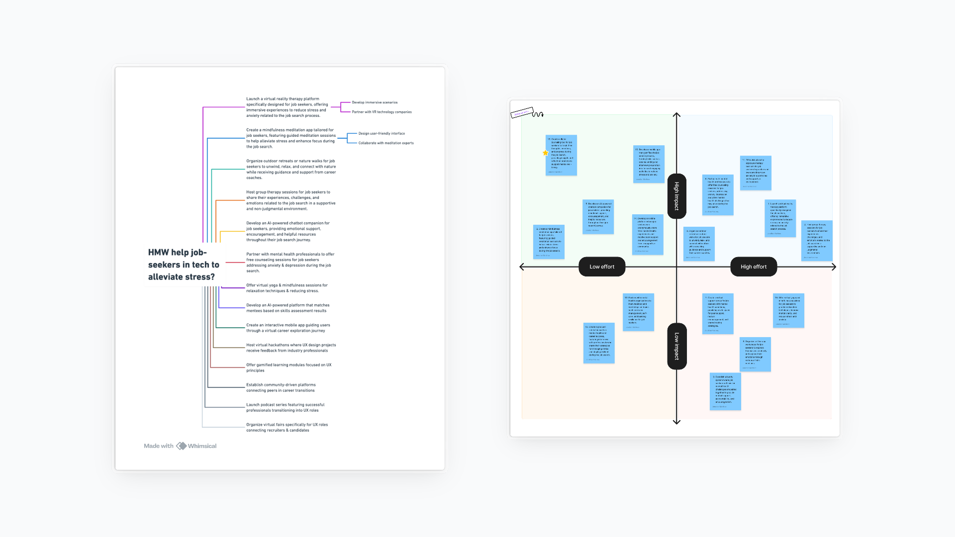
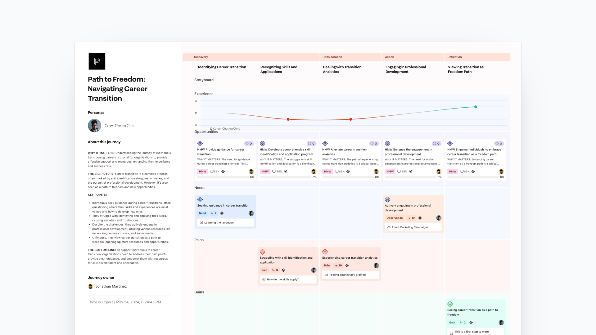
Strategy and AI-powered design support for a 25-person BIPOC-led cohort · personas, journey mapping, ideation, and storytelling flows
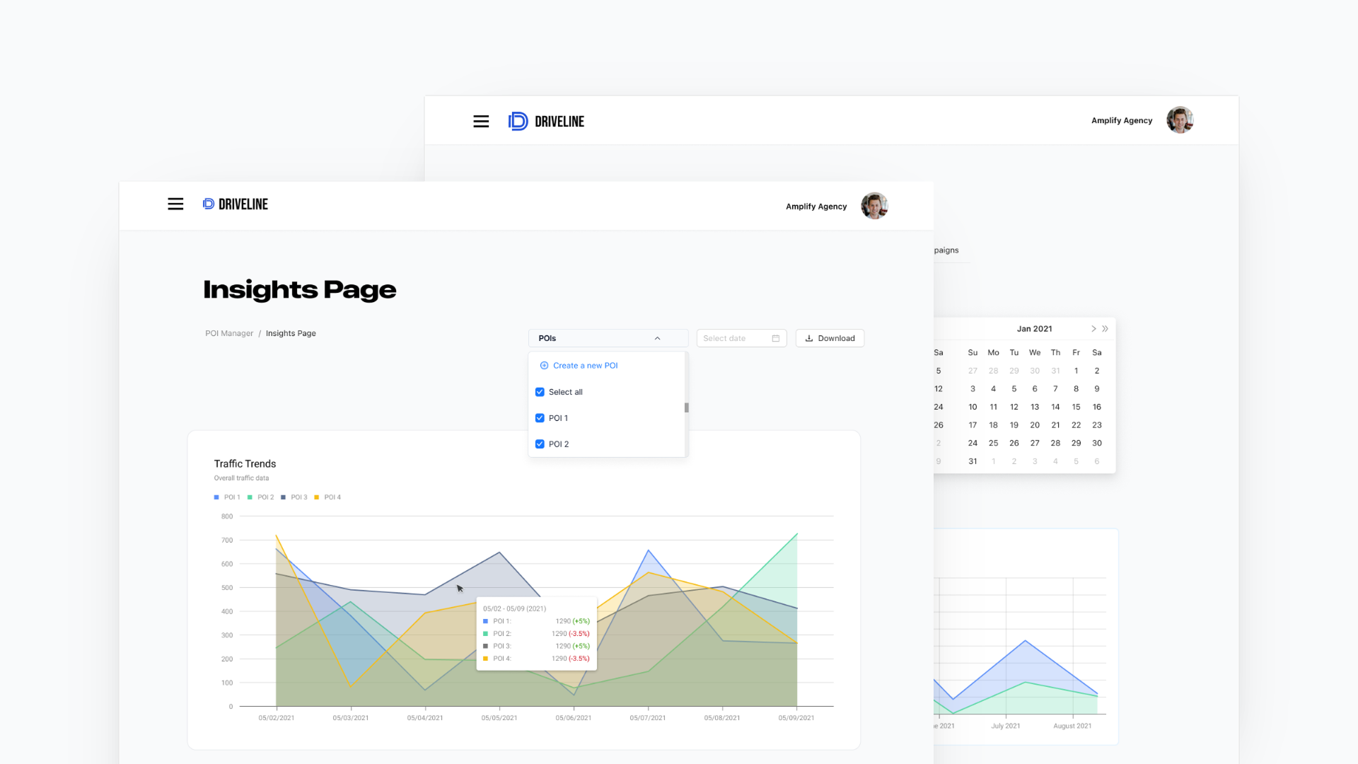
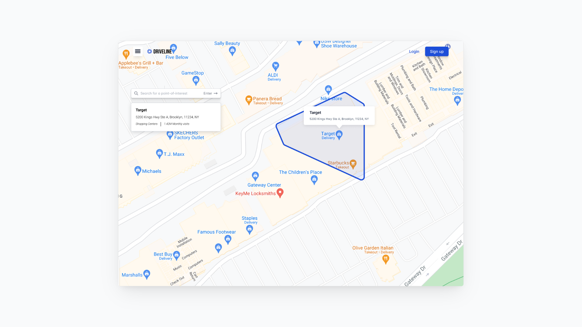
Product strategy and UX for an automotive location-intelligence platform supporting dealership marketing workflows
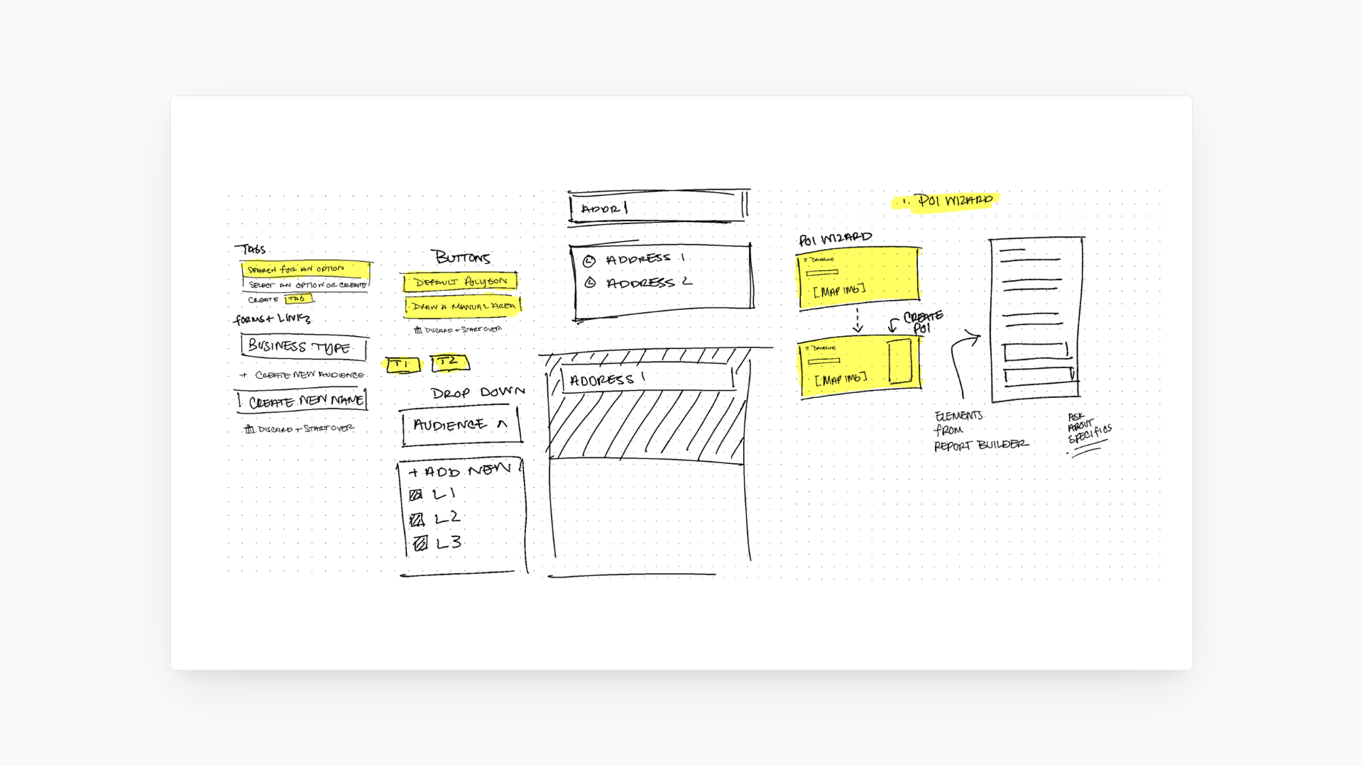
Climate resilience · QCC Green Energy Program · New York City
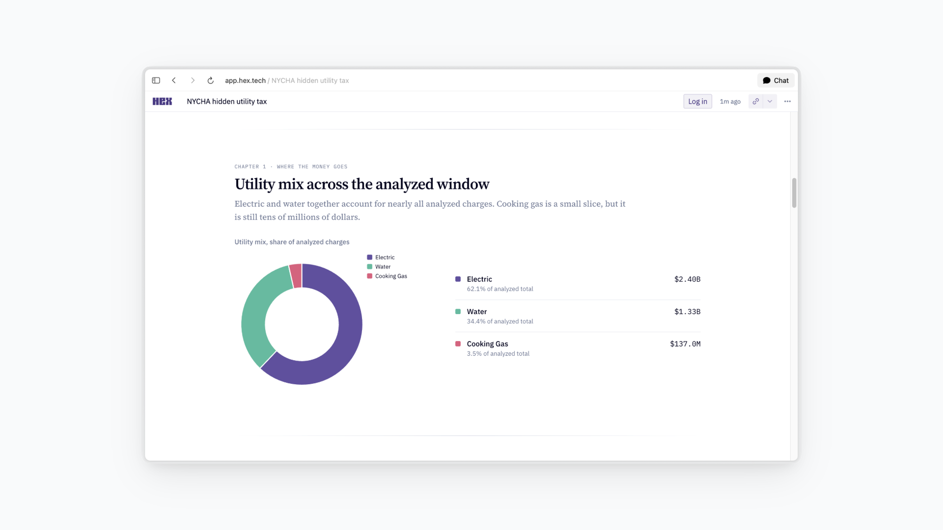
Public-housing utility costs · NYCHA public-data investigation
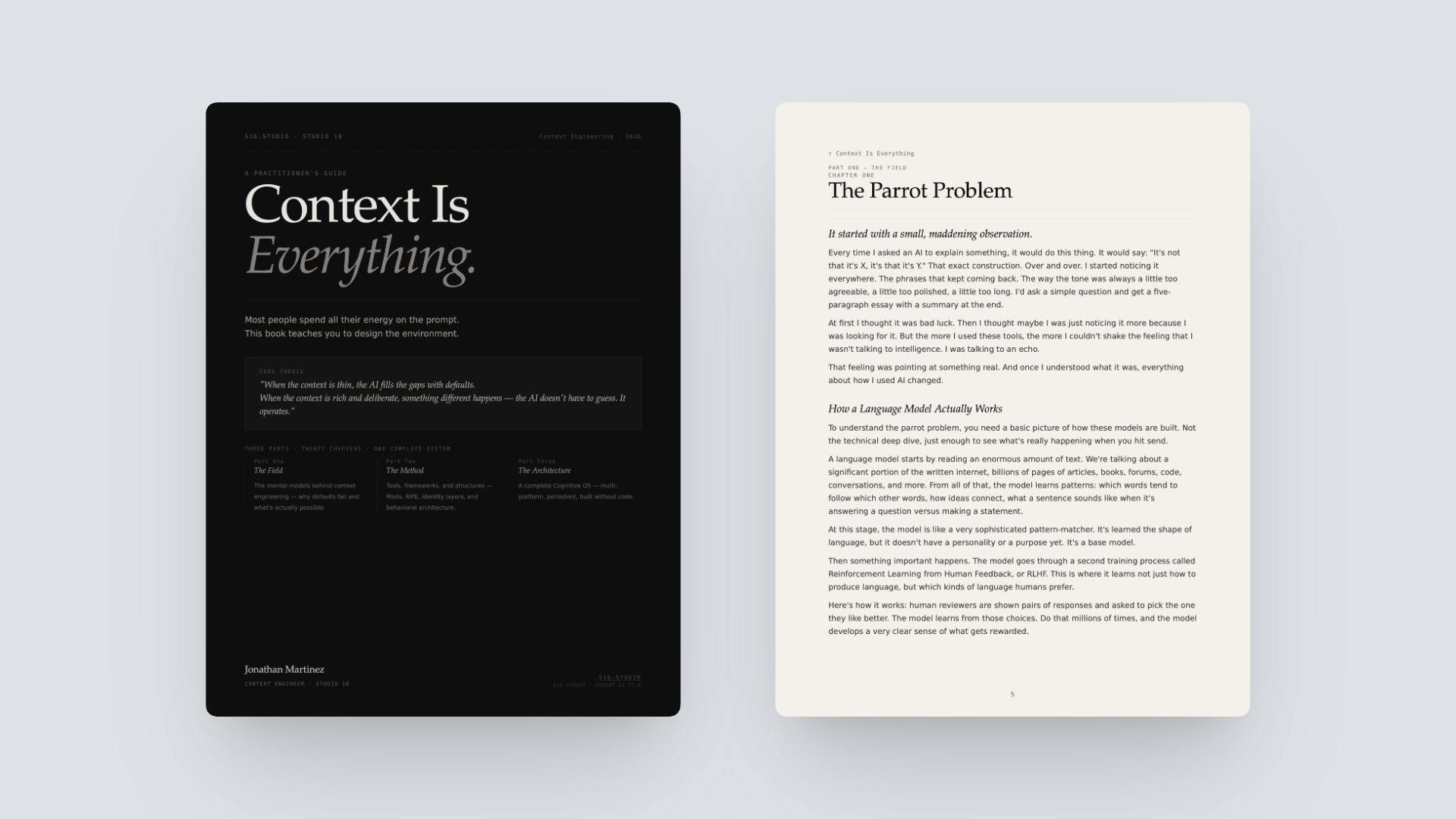
A practitioner's guide to context engineering · Three parts, twenty chapters, one complete system
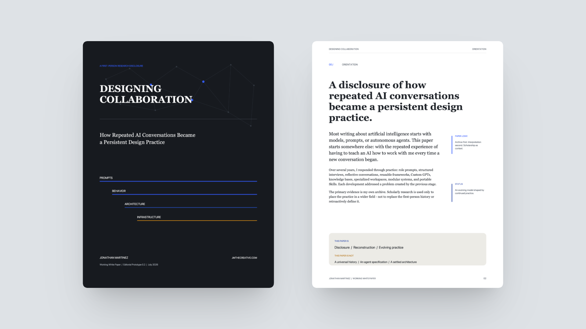
How Repeated AI Conversations Became a Persistent Design Practice · Working White Paper, Editorial Prototype 0.2
QCC Green Energy Program · Queens, New York City


LaGuardia Community College Data Analytics Program · New York City
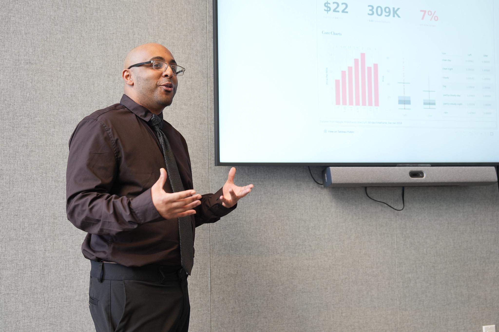
Black UX Labs · dscout webinar · August 19, 2024
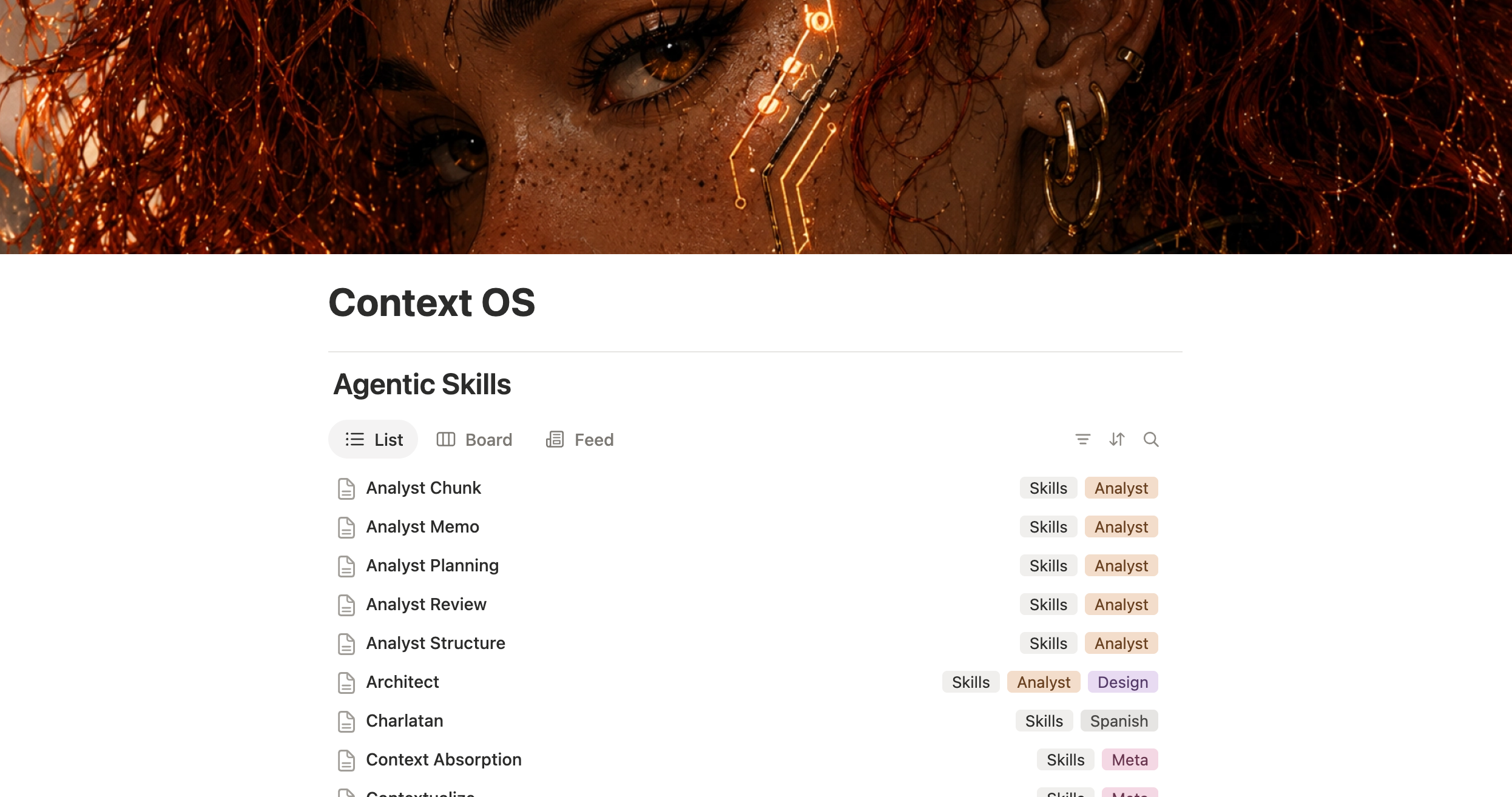
A personal context system organizing reusable Agentic Skills, Base Architectures, and Context Workshops
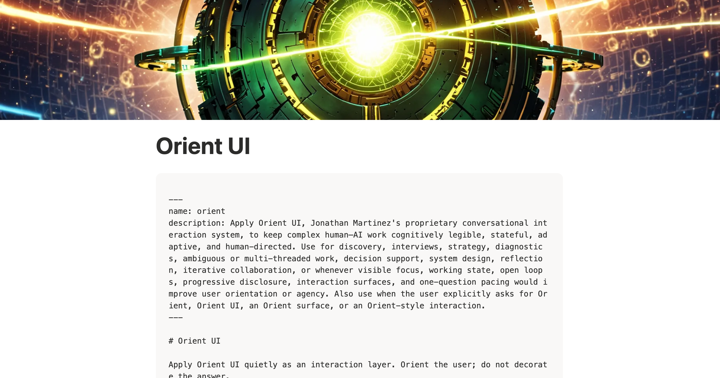
A human-directed conversational interaction system for keeping complex AI collaboration legible, stateful, and adaptive
SUNY Empire State University · Information Systems
LaGuardia Community College · SQL, Python, Tableau, regression analysis, and capstone
Queensborough Community College · Con Edison-funded program